Basics GIS:
Understand GIS basic concepts and relevance.
Coordinate systems – Geographic / Projected.
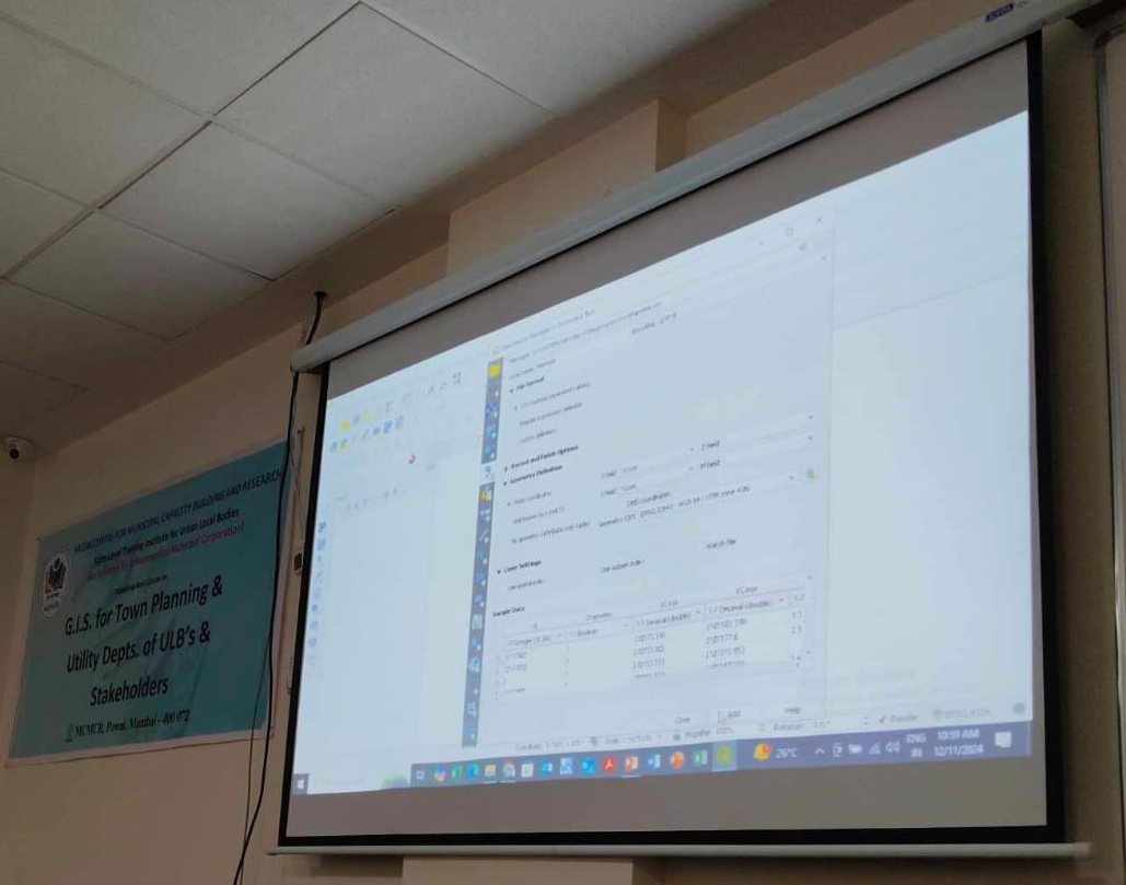
QGIS Applications – Hands-on
> Introduction to GUI
> Geo-referencing concepts
> Digitizing & Editing
> Analysis (Spatial Queries)
> Importing & Exporting CSV / KML
> Map Creation & Layout
> Remote Sensing, GNSS & GIS fundamentals
Field work (TOTAL STATION / DGPS SURVEY)*
*(Third party)
|
Advance GIS
Introduction: GIS Systems & Topographical Relations
> QGIS Applications – Hands-on
> Data Modeling in GeoDB
> Methods of data creation
> Validation & Error Fixing
> Concepts of Photogrammetry (3D data Compilation) -
DEM, Vector & Orthophotos generation
GeoDB & 3D Fly-Through Model creation
> WEB GIS - Web application & its functionalities
Field work (TOTAL STATION / DGPS SURVEY / DRONE SURVEY)*
|